Aerial search and rescue
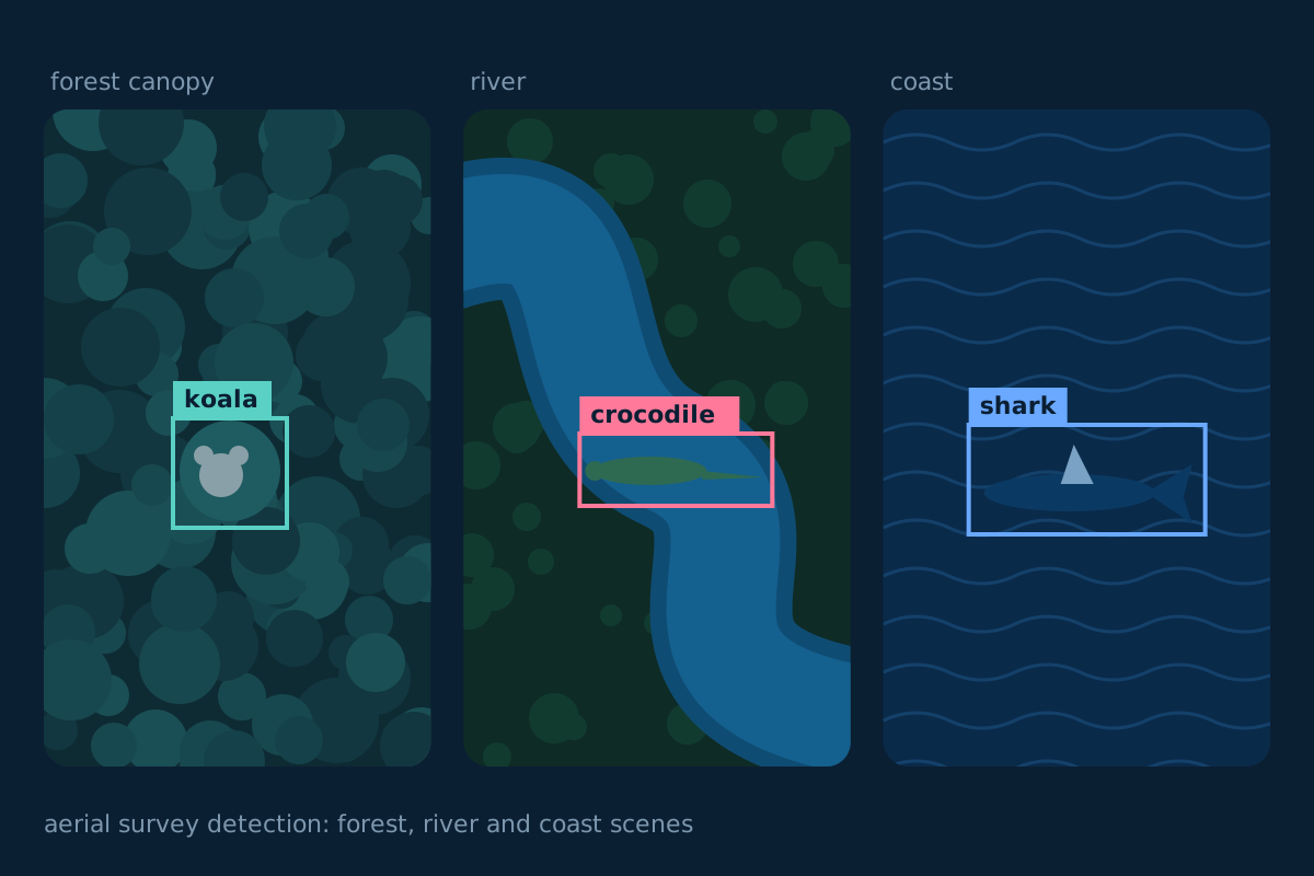
Computer vision and operator software for finding people and animals from the air. Used in flood regions in several countries, and now for sharks, crocodiles and koalas.
- Role
- Software Engineer, AI
- When
- Jan to Dec 2022
- Organisation
- UTS intelligent Drone Lab
- Funded by
- DFAT Aus4Innovation
The problem
Aerial search and rescue needs software that can detect and locate people and animals in real time, and that operators can run in the field, not only in a lab. This project built that system. It was delivered under DFAT's Aus4Innovation initiative, which supports international deployment of AI-enabled aerial search and rescue.
What I did
- Built what my profile describes as the world's first AI-powered aerial search and rescue system, combining computer vision, deep learning and full-stack software.
- Designed and trained computer vision models for real-time detection and localisation in disaster-response scenarios.
- Built modular graphical interfaces and system tooling so operators could use it in the field.
What came of it
The system was used in live search and rescue operations in locations including Vietnam and Australia, across flood regions, which led to technology transfers. It won the 2024 NSW iAwards for Government and Public Sector, with merit in Not-for-Profit and Community.
The modular system is now used by UTS and its industry partners, with minimal changes, for shark, crocodile and koala search and rescue across Australia.